


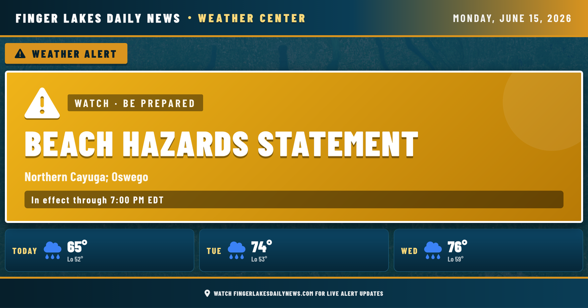
The Beach Hazards Statement along the northern Cayuga shoreline expires at 7 PM tonight — after that, the focus shifts to a quiet overnight and a warmer Tuesday ahead of what’s building later in the week. Skies are overcast in Geneva right now at 65°, with partly cloudy conditions across most of the rest of the region.
Overnight, expect clouds to linger and temperatures to ease into the low 50s regionwide — no frost risk, no meaningful precipitation. Tuesday looks like the pick of the next several days: highs climb to near 74° in Geneva under mostly dry conditions, with light winds and a low drizzle chance that shouldn’t amount to much.
The story that matters is Wednesday into Thursday. A strong surface low will track northwest of the region, with NWS Buffalo flagging a warm front Wednesday bringing scattered showers and a few thunderstorms, particularly from the Finger Lakes toward eastern Lake Ontario. Wednesday night into Thursday, a low-level jet strengthens and wind gusts to 25 mph or higher are possible inland. Thursday’s rainfall looks heavier, with Geneva forecast to see a 76% precipitation probability — the wettest stretch so far this month.
The weekend brings some relief, with clearing skies by Friday and highs settling into the low 70s.
Weather Center forecast for the Finger Lakes region. Sourced from NWS, Open-Meteo, NWS Area Forecast Discussion, and USGS stream-flow data. Updated 6 AM, noon, and 6 PM ET.