


The northwest wind at noon tells the clearest story today — that front that moved through overnight did its job, and the Finger Lakes are sitting in genuinely cool, dry air for mid-June. Geneva is at 60° under partly cloudy skies, and the region tops out in the mid-60s this afternoon before temperatures ease back toward 52° overnight.
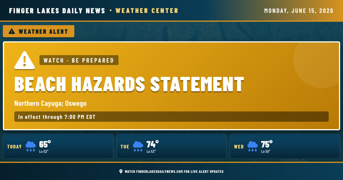
No alert changes affect the inland Finger Lakes today. A Beach Hazards Statement from NWS Buffalo remains in effect through 7 PM along northern Cayuga and Oswego shorelines — dangerous wave action is possible there, so stay out of the water.
This afternoon stays dry and pleasant. Tonight is quiet, with lows in the low 50s. Tuesday looks mainly dry as well, though an isolated shower or storm can’t be ruled out as a warm front pushes through. The more significant unsettled stretch arrives Wednesday night into Thursday, when widespread showers and thunderstorms are expected — NWS is also signaling a threat of strong gusty winds ahead of that system.
Weather Center forecast for the Finger Lakes region. Sourced from NWS, Open-Meteo, NWS Area Forecast Discussion, and USGS stream-flow data. Updated 6 AM, noon, and 6 PM ET.