


If you’ve been enjoying the stretch of warm weather, today is your last full day of it. A weak cold front will push through the Finger Lakes sometime between this morning and early this afternoon, but don’t expect much drama from it — the NWS Buffalo office notes there’s very little moisture or upper-level support riding with this system, so most of us stay dry. The front’s main effect today will be nearly invisible.
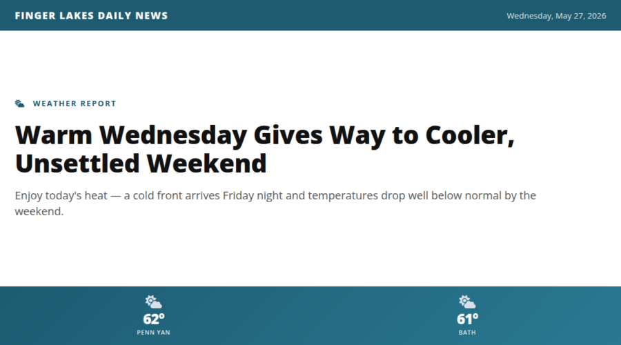
Temperatures this morning are already running mild, starting in the low 60s across the region. That head start, combined with increasing sunshine and good atmospheric mixing behind the front, will push afternoon highs into the upper 70s to near 80° — well above normal for late May. Auburn, Geneva, and Canandaigua should all see comfortable, breezy afternoons. Enjoy it.
Tonight, the story starts to shift. A few widely scattered showers become possible after dark as a sharper mid-level trough pivots southeast across the Great Lakes. Thursday will be noticeably cooler with a chance of showers lingering through the day.
The bigger change arrives late Friday into early Saturday, when a stronger cold front sweeps through the region. Expect a few showers with that passage, followed by below-average temperatures through the weekend — think highs in the 50s with overnight lows that may surprise you.
Stream flows are running at seasonal levels across the region with no flooding concerns.
Weather Center forecast for the Finger Lakes region. Sourced from NWS, Open-Meteo, NWS Area Forecast Discussion, and USGS stream-flow data. Updated 6 AM, noon, and 6 PM ET.