


The heat hasn’t let go yet — Geneva hit 86° today, but Ithaca, Watkins Glen, and Corning all pushed into the low 90s, and the humidity made it feel a few degrees worse. Right now we’re sitting at 79° under a thick overcast, with dew points that have kept this evening uncomfortable.
Overnight, clouds hold and scattered showers are possible, especially across the Southern Tier where the NWS Buffalo office has flagged patchy fog developing late. Lows settle near 69° in Geneva, a bit milder than typical for mid-June thanks to all that moisture overhead. No frost risk tonight.
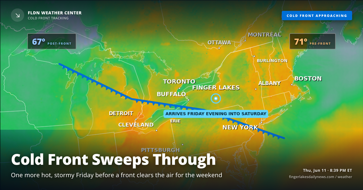
Friday is the last act of this warm stretch. The mid-level ridge that’s been driving the heat slides east into New England, but not before one more muggy afternoon — heat index values could touch the lower-to-mid 90s across the region, and the NWS has been watching that threshold closely, though confidence in a formal Heat Advisory has been falling. Scattered showers and thunderstorms are expected through Friday evening as a surface trough and cold front push through.
Behind that front: a noticeably more comfortable weekend. Highs drop into the low-to-mid 80s Saturday and the low 80s Sunday, with much lower humidity. A significant rain event is possible by Sunday into Monday, with precipitation chances climbing to 80% Monday — something to watch as the weekend approaches.
Weather Center forecast for the Finger Lakes region. Sourced from NWS, Open-Meteo, NWS Area Forecast Discussion, and USGS stream-flow data. Updated 6 AM, noon, and 6 PM ET.