


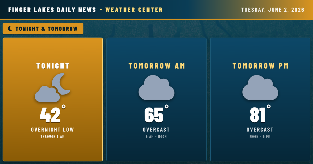
I’m keeping a close eye on what’s shaping up to be a quiet few days before a notable pattern change late this week. Tonight looks pleasant — clear enough for a comfortable evening, with lows dropping to the low 40s across most of the region. No frost concerns tonight, and no precipitation to worry about.
Tomorrow brings more of the same dry stretch, with highs climbing to around 81° in Geneva under continued overcast skies. Northwest winds will stay light, generally under 10 mph. The upper-level ridge holding firm over the region is the reason for the calm — but that ridge begins to break down by Friday.
Saturday into Sunday is when things get interesting. A deep southerly flow pushing moisture into the eastern Great Lakes could bring showers and thunderstorms, with the National Weather Service noting rainfall could be heavy at times. Moisture levels are forecast well above normal for early June.
Enjoy the quiet midweek stretch.
Weather Center forecast for the Finger Lakes region. Sourced from NWS, Open-Meteo, NWS Area Forecast Discussion, and USGS stream-flow data. Updated 6 AM, noon, and 6 PM ET.