Sunday is starting on a beautiful note — clear skies and cool temperatures in the mid-to-upper 40s across the region this morning, with Geneva and Ithaca residents waking up to some of the nicest air we’ve seen all week. Enjoy it early, because the afternoon tells a different story.
A backdoor cold front — meaning it’s dropping in from the east rather than the more typical west — will push showers into the Finger Lakes by mid-to-late afternoon. The NWS Buffalo office notes that instability is marginal for any thunder, so this isn’t a severe weather situation. Expect light, scattered showers, likely a tenth of an inch or less of rainfall, backing in from the eastern side of the region first. Auburn and Canandaigua may see the first drops, while areas farther west hold on to dry conditions a bit longer. Showers should diminish across the region by evening.
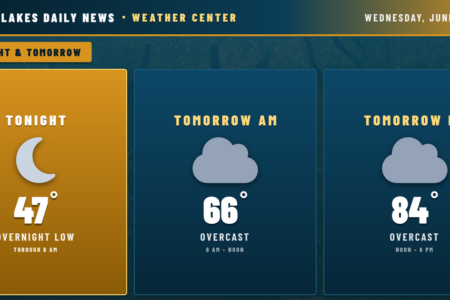
Afternoon highs will reach the upper 60s to low 70s ahead of the front — near 72° in Watkins Glen, around 69° in the Bath area — before temperatures ease back into the mid-to-upper 40s overnight under clearing skies.
Stream flows look routine regionwide. No flooding concerns.
Looking ahead: Monday through Friday shape up quiet and seasonable as high pressure builds. The next notable weather maker arrives next weekend, when a pattern shift could bring showers or thunderstorms, most likely Saturday and Sunday afternoon. Worth keeping an eye on as the week progresses.