


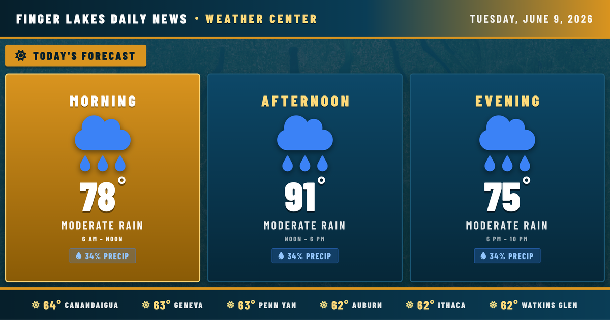
I’m watching a significant heat and humidity buildup taking shape across the Finger Lakes this week — and a busy stretch of weather is shaping up that’s worth planning around. Today starts the warm chapter, with clear skies this morning giving way to highs approaching 91° this afternoon in Geneva, Canandaigua, and Penn Yan. The NWS Buffalo office notes a ridge axis moving across the region today, pushing temperatures well above seasonal norms. Expect southerly winds around 12 mph to keep things feeling muggy by midday, with humidity already sitting in the low 80s at sunrise.
Morning commuters are stepping out into the low 60s under clear skies — comfortable enough, but that changes fast. Temperatures climb through the 70s by mid-morning and reach peak heat in the early afternoon. There’s a modest 34% precipitation chance today, so an isolated shower can’t be ruled out as warm, moist air builds, but most areas stay dry through this evening.
Wednesday and Thursday bring the real action. Scattered showers and thunderstorms are expected to develop as a disturbance approaches from the west. The most intense heat arrives Thursday and Friday, when 850-millibar temperatures climb sharply and heat index values could push into the low-to-mid 90s — the Buffalo Weather Service office is already flagging potential heat headlines for those days.
Looking ahead, thunderstorms remain likely Wednesday through Friday before a gradual cooldown arrives for the weekend. Highs drop into the upper 60s by Sunday, offering some relief after a punishing midweek stretch.
Weather Center forecast for the Finger Lakes region. Sourced from NWS, Open-Meteo, NWS Area Forecast Discussion, and USGS stream-flow data. Updated 6 AM, noon, and 6 PM ET.